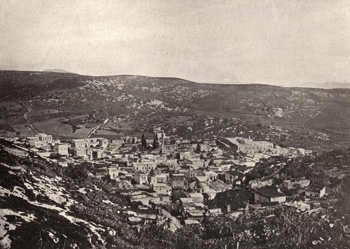
Nazareth c. 1890: dome of the Mensa Christi Church and tower of the Maronite Church near upper edge of the valley.
ISRAEL PHOTOS V -- Spring 2011 |
MORE CLIFF PHOTOS
It is difficult to get more information about the cliff behind the two churches in the early photos below. These early photos reveal little. If one could spend three days walking up and down the narrow pedestrian ways of this area, one might get a better perspective of the steepness of the terrain and the probable accuracy of the early written accounts described elsewhere on my web pages. SEE ALSO: https://dqhall59.com/israelphotosIV/nazarethsynagogue.htm
Nazareth c. 1890: dome of the Mensa Christi Church and tower of
the Maronite Church near upper edge of the valley.
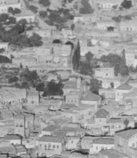
Cropped Aerial Photo c. 1932, American Colony Collection, Library of Congress
(no known restrictions).
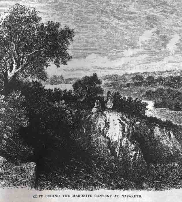
Drawing of Nazareth Cliff, Those Holy Fields ... Samuel
Manning, c. 1875, London
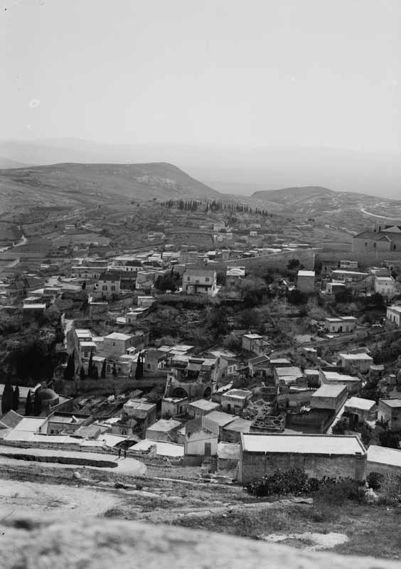
View of the Mount of Precipice outside of town
and dome of the Mensa Christi Church visible at lower left.
Library of Congress Collection, c. 1920, no known restrictions.
Early travelers reported a cliff behind the Maronite Church (est. 1770); by tradition a place where they might have tried to silence Jesus. To this day people dumped their trash over the sides of hills and abandoned their unwanted furniture in the alley ways in Nazareth. Houses were torn down and new ones built on the raised foundations. The cliff was supposed to be higher 2000 years ago before the valley below was partially filled.
Years after writing descriptions of precipices in Israel Photos III, IV, and V; I found a source seeming to summarize theories as to where Jesus' neighbors wanted to kill him in and around Nazareth as described in Luke. Some wrote about a place 1.5 - 2 miles out of town and others on the sides of the mount where the houses of the town were built:
From: A Journey To Palestine, by Rev. B. Carradine, D.D., St. Louis, 1891.
'The Gospel says, "They thrust him out of the city, and led Him to the brow of the hill, wheron their city was built, that they might cast Him down headlong." The middle of the sentence of the verse caused me to walk for a couple of hours on the lofty summit of the hill back of Nazareth. I saw two places which could have answered the dark purpose of the Nazarenes. Doubtless two thousand years ago there were much sharper declivities than we see today; but the building and grading and cultivation going on to the very hill-top for many centuries have had a marked effect on the topography of the mountain, and, perhaps designedly so by Providence.
It is remarkable that the verse quoted can be made to agree with either one of the places in dispute. For even the precipice so distant from the present town is part of the range of mountains on which Nazareth is built."
BIRDS PERCHED ON MUSTARD BRANCHES
MORE CLIFF PHOTOS
RECENT EXCAVATIONS AT THE POOL OF SILOAM
